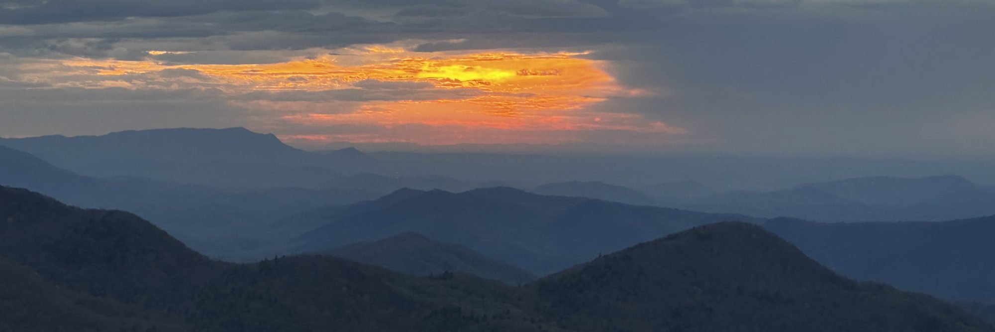
My hike today began at the top of Amicalola Falls with my wife and daughters dropping me off and making their way to Atlanta. It was a quick goodbye and in the blink of an eye my journey was underway. I hiked the approach trail to Springer Mt which is 8.9 miles long and is not part of the AT. The trail conservation guides told me yesterday that the approach trail would be difficult but that my hike the following day would be much easier. While the hike today had several steep sections I did not think it was too difficult. It was a beautiful day but chilly. There really were not a lot of pictures to be taken today as I was mostly in the woods without too many views. The trail was well marked and no signs of trash or anything else that people could leave behind. I did find myself having to look down frequently as the trail was littered with rocks and tree roots. The official start of the AT is a simple bronze plaque affixed to a rock – it would actually be very easy to walk by and not even notice if you weren’t looking for it. I am camping tonight at the Springer Mountain shelter at a nearby tent site along with a few other hikers whom I have had a chance to talk to. Everyone has been very friendly and helpful. The forecast for tonight is for rain to move in with heavy rain and cool temperatures tomorrow.


Sounds like a great start. Good luck!!
LikeLike
Good luck on your adventure! This is on my bucket list hopefully I will learn more about the AT by following your blog. Stay safe! How much did your pack weigh when you left? Just in case you forgot I used to work at Sylvania (Mech. Tech.) Again Best of luck on your adventure!
LikeLike
Hi Lori. Of course I remember you. My pack weighed 31 pounds. Good luck with your future thru hike plans!
LikeLike
Hi Lori. Of course I remember you! Thanks for the good wishes. My pack weights 31 pounds. Good luck with your thru hike plans!
LikeLike