Today was the first of two zeros in the village of Hot Springs, NC. After another night of rain in our tents we got up this morning and walked into the village with some other trail friends for breakfast. It was so great to have real breakfast food and hot coffee. Afterwards we returned to our camp site, washed and dried our clothes at the hostel, packed up our tents and returned to town for lunch, checking into our inn, picking up some resupply items for next week and just meandering through town. Mountain Crusher’s backpack was about to fail so he spent considerable time at the local outfitter shop trying on different packs before ultimately selecting a new one. Tonight and tomorrow night we are staying at the Sunny Bank Inn, a charming old house with lots of character.
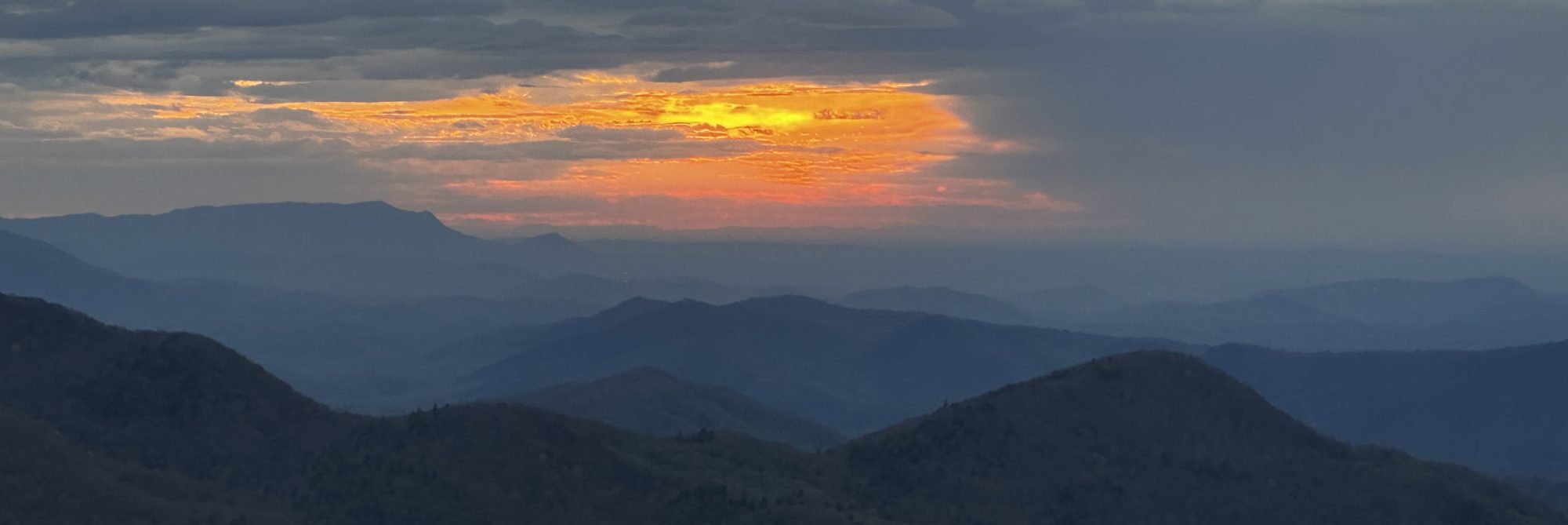
Two days ago we crossed what, to me, has been the most beautiful spot on the AT – Max Patch. Our Tramily camped just below the summit and went up that evening to view the sunset. There were so many great shots that I decided it would be best to compile them into a short video, which is below. Please listen to it with the music. If you are ever near this amazing location, please take the time to enjoy a sunrise or sunset. I promise you, you will never forget it. There is actually a parking area less than a half-mile from the summit so you don’t have to do a thru hike of the AT to glimpse this piece of Heaven 😊. A brief summary/history of Max Patch follows (source: Wikipedia).
Max Patch is a bald mountain on the North Carolina-Tennessee Border in Madison County, North Carolina, and Cocke County, Tennessee. It is a major landmark along the Tennessee/North Carolina section of the Appalachian Trail, although its summit is located in North Carolina. It is known for its 360-degree views of the surrounding mountains, namely the Bald Mountains in the immediate vicinity; the Unakas to the north; the Great Smoky Mountains National Park to the south; and the Great Balsams and Black Mountains to the southeast. Max Patch was originally cleared in the early 19th century by farmers seeking to use the area as pasture for cattle and sheep. Throughout the first half of the 20th century, the mountain was used for a wide range of purposes including the site of an inn, a hostel circuit, and an airstrip before the United States Forest Service purchased the area in 1982 to preserve the historic site and prevent the construction of a ski resort. The Carolina Mountain Club, Appalachian Trail Conservancy, and United States Forest Service worked collaboratively to relocate the Appalachian Trail to Max Patch’s summit and completed the projected in 1984.


 And the journey continues…